URBAN & HERITAGE INTELLIGENCE
Public-sector planning internship project


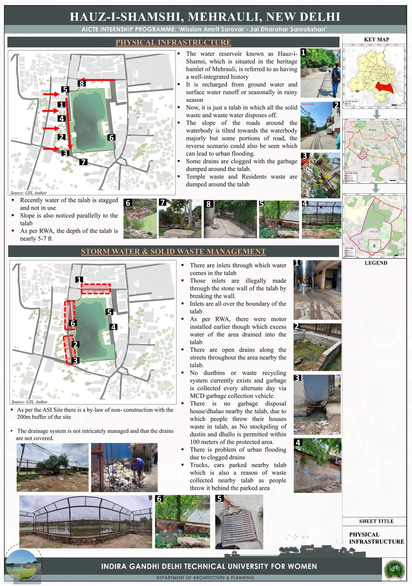


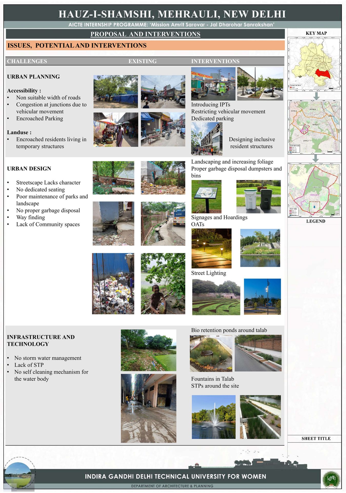


This project focused on understanding and improving a historic urban precinct through spatial analysis, heritage documentation, and environmental assessment, undertaken as part of a public-sector planning and conservation initiative.
I worked on site analysis, GIS-based mapping, heritage value assessment, and urban diagnostics contributing to data-backed insights that informed conservation-sensitive planning strategies.
Layered mapping of land use, mobility, heritage assets, water systems, and regulatory zones helped identify conflict areas and opportunities, enabling informed urban and conservation decisions.
The work went beyond documentation, combining field surveys, spatial intelligence, and institutional guidelines to translate complex urban data into structured, actionable planning logic.
It demonstrates how spatial data, policy frameworks, and urban systems can be synthesized to support decision-making in public planning, city intelligence, and built-environment strategy.